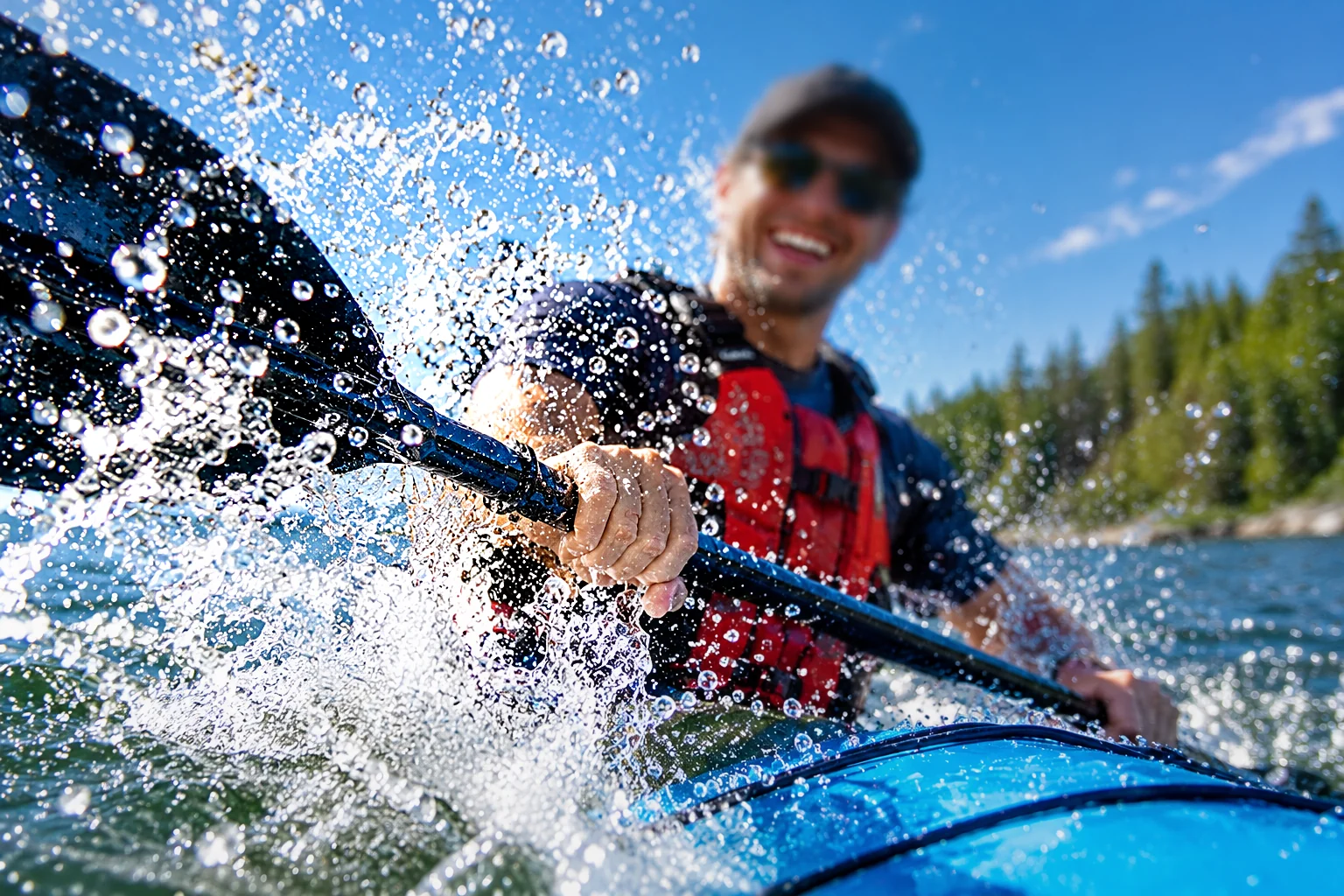
A smiling paddler in sunglasses drives a kayak paddle through splashing water
Hamilton β€’ Niagara β€’ Ontario

Paddle & Hike Collective

A community hub for paddling, hiking, trail discovery, trip reports and the people who love getting outside.

Get outside

What’s Happening

Explore Ontario

Find Your Next Launch or Trail

Browse mapped launches and every trail and water route from our past events on the Trails & Launches map.

Community

Share the Adventure

Each event gets a photo gallery where members can comment and share individual photos to social platforms.

Collective calendar

Upcoming & Past Events

Ontario field guide

Trails & Canoe/Kayak Launches

Launch Sites & Past Event Routes

OpenStreetMap boat ramps, canoe/kayak put-ins and trailheads across Ontario (kept on this server and refreshed weekly), plus the trail and water route of every completed event.

Loading launches…
Paddle routeKayak only (too shallow / narrow for a canoe)Hike routeHiking portageLaunchTrailhead

Past Event Routes

Routes are added to the map once the event date has passed. Select an event to highlight its route.

Loading past event routes…

Trail & Activity Guide

Launch Directory

Launch pins will appear here.

Launch data is sourced from OpenStreetMap. A mapped launch does not guarantee public access, current availability, safe conditions, parking, trailer suitability or permission to paddle; verify local rules before launching.

Gear up with our partners

Gear & Partner Deals

Retail Partners & Promo Codes

From our members

Member Gear Reviews

Written by members who bought gear through the Collective’s Shop now links. We may earn a commission on those purchases, but we never pay for reviews or change what members write.

Who we are

About Us

Since our first Meetup

Strangers on a Shoreline, Friends by the Takeout

The Paddle and Hike Collective is a not-for-profit community of people who would rather spend a Saturday on the water or the trail than anywhere else β€” and who believe the people beside you matter as much as the view.

How It Started

We began on Meetup with a simple post: looking for a few like-minded people who want to get outside. The handful of strangers who showed up for that first paddle didn’t share much on paper β€” different ages, jobs, neighbourhoods and experience levels. What they did share was the way they treated each other: patient with the slow paddler, quick to lend a dry bag, happy to stop and point out a heron.

That first outing ran long because nobody wanted to leave the lunch table. A second trip followed, then a hike, then a standing invitation. Word spread the way it does with good groups β€” a friend brings a friend β€” and the Collective grew from a few canoes and kayaks into a community that paddles rivers and lakes and hikes trails across Hamilton, Niagara and beyond.

We’re still run by volunteers and still organized one outing at a time. The difference is that today there are more of us to welcome the next person who reads a post and thinks, maybe I’ll give it a try.

Our Values

🀝

Respect

For each other, for every pace and skill level, and for the land and water we visit. We leave places better than we found them and follow the rules of every park, launch and trail.

🌿

Courtesy

Show up when you RSVP, share the trail, wait at the junction, and keep the group together. Small considerations make a big group feel like a small one.

β˜€οΈ

Kindness

Everyone was new once. We welcome first-timers, help with gear and skills, and make sure nobody paddles or walks at the back alone.

How We Do Things

  • Safety first. PFDs on the water, routes checked before we go, and plans that change with the weather.
  • Everyone is welcome. Beginner-friendly trips are clearly marked, and organizers share the pace and distance up front.
  • Membership through participation. New members join by coming to an outing β€” the best way to get to know each other.
  • Money goes back to the group. Partner deals and affiliate links help fund outings and shared equipment whenever possible.

Meet the Organizer

Jasmine, organizer of the Paddle and Hike Collective

Jasmine

Organizer Β· Psychotherapist, Master’s degree

Jasmine is a psychotherapist with a master’s degree, and she brings the same care to the Collective that she brings to her work. She knows first-hand how much time outdoors and genuine connection can do for a person’s wellbeing β€” and how much easier it is to try something new when you feel welcome.

As organizer, Jasmine plans outings, scouts routes and makes sure every trip reflects the values the group was founded on: respect, courtesy and kindness. If it’s your first event, look for her at the meeting place β€” she’ll make the introductions.

The fine print

Privacy Policy

Last updated: October 2026

The Paddle and Hike Collective is a volunteer-run, not-for-profit community group. This page explains what this website collects, why, and the choices you have.

Information You Give Us

  • Accounts: your username, email address, display name and a scrambled (hashed) version of your password. We never see or store your actual password.
  • Event activity: your RSVPs, attendance records, photo comments and anything you upload.
  • We use this only to run the group β€” organizing outings, approving members and keeping the site safe. We don't sell it.

Cookies and Local Storage

  • A login cookie keeps you signed in. It is required for accounts to work and contains no personal details.
  • Your browser remembers small preferences on this device: whether you have already seen the welcome intro, and the seasonal colour theme.

Advertising

Our gear page may show ads from Google AdSense. Google and its partners use cookies to show ads based on your visits to this and other websites. You can turn off personalized ads in Google's Ad Settings and learn more in how Google uses information from sites that use its services. Ad revenue helps fund outings and shared equipment.

Affiliate Links and Promo Codes

Some product links are affiliate links. When you click one, the retailer may set its own cookie to credit us for a purchase. We count clicks on these links, but we don't record anything about you personally.

Maps and Other Services

Maps, trails, launches, restaurants and parking come from OpenStreetMap. Addresses typed into the route builder’s search are looked up through this site with OpenStreetMap’s Nominatim service (the site sends only the text you typed, not who you are). Map images are loaded from OpenStreetMap and Esri, and fonts from Google Fonts, so those services see your IP address when your browser loads them. Sharing to WhatsApp happens in WhatsApp.

Your Choices

  • Ask an organizer to correct or delete your account and its information at any time.
  • Ads and affiliate links are optional β€” you can enjoy the site without clicking them.

Contact

Questions about this policy? Message the organizer through our Meetup group or speak to us at any outing.
Route builder

Plan an Event

Anyone can plan
Anyone can plan an event here, preview it, print it and save it in this browser for 3 months. Only organizers (moderators and administrators) can post it to the Events page. Click the map to place a custom START pin and then an END pin. Both pins can be dragged afterward. You can also choose a known launch or trailhead from the list. The planner routes those coordinates onto mapped waterways or trails instead of drawing a straight line. Every dam, weir, waterfall, culvert or gap between waters (for example a road or bridge between two lakes) gets its own hiking portage, and a short carry is preferred over a long paddling detour. Canoe routes avoid water mapped shallower than 25 cm or narrower than 1.5 m; Kayak routes can use water from 15 cm deep and 1 m wide and show those kayak-only stretches as dashed amber lines. Small streams with no mapped depth are shown dotted β€” check water levels before the trip. Hike routes stay on walkable trails (footpaths, paths, tracks and multi-use trails) and never run along city sidewalks; if no trail connects the pins, the map switches to drawing so you can draw the route yourself. Ski / snowboard mode draws no route: pick the hill (β›·) and the event shows it on a map with parking and places to eat nearby.
Step 1: click the map to place the START pin.
Routing along mapped trail / waterway… (the first route in a new area downloads river data from OpenStreetMap and can take up to a minute)
Startβ€”
Endβ€”
Distanceβ€”

Known Access Points

Paddle mode lists launch points, hike mode lists trailheads and ski mode lists ski and snowboard hills β€” nearest to the map centre first. Choose one as START, then another as END, or click the map for a custom pin. Points without a name are named after the nearest street, or the park they are in.

Plan This Event

Trip Details (all optional)

P Parking (optional)

Choose where people should park: click a green P on the map and press Use for this event, or pick from the list (nearest first). It is saved as a map centred on the parking and included in the WhatsApp message.

🍴 Post-Trip Food Stop (optional)

Pick a restaurant from the map (turn on Show places to eat and click a pin), from the list, or find places near the start and end of this route. It is shown on the event’s map and included in the WhatsApp message.

Saved / Published Routes

Attendance

Confirm Attendance

πŸ“·

Scan the organizer’s QR code at the event to check in.

Administration

Members & Attendance

New registrations stay pending until the member attends an event. Record their attendance under Event attendance, then approve the registration.

Pending Registrations

Event Attendance

Everyone who RSVP’d to the selected event. Attendance can be recorded on or after the event date.

All Members